Where will Baldock grow?
The site and its surroundings
Where will Baldock grow?
The site and its surroundings
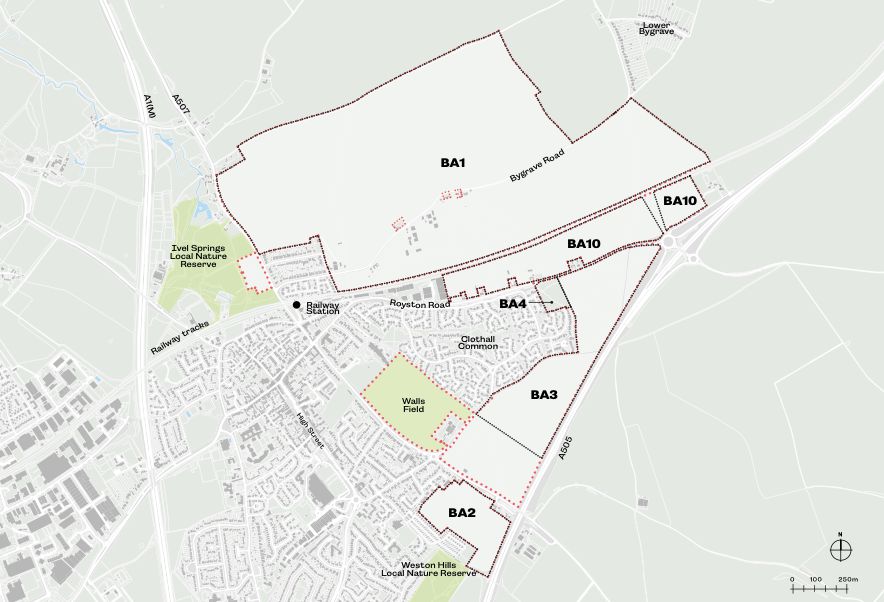
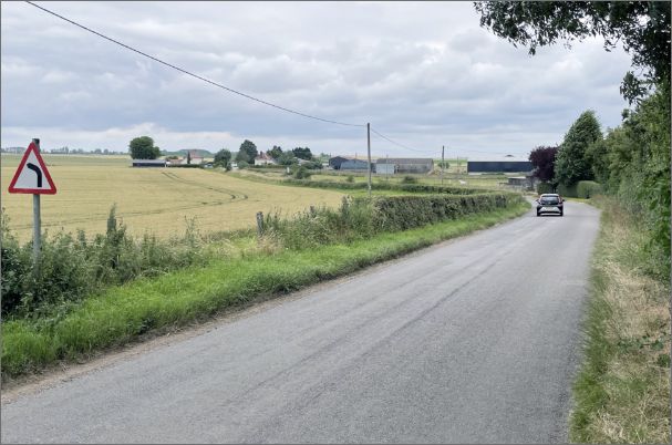
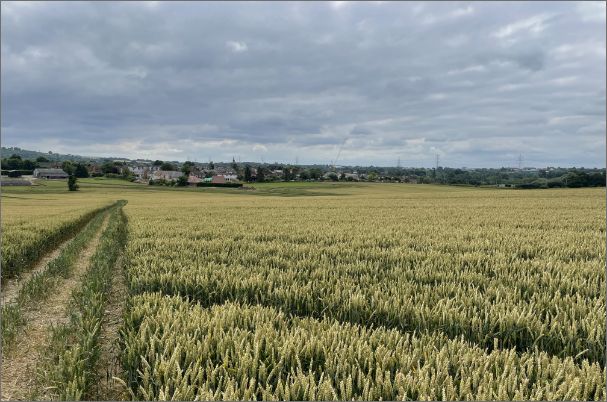
The places where Baldock will grow are located to the north and east of Baldock.
The areas earmarked on the adjacent map for development were allocated by the North Hertfordshire Local Plan in a series of ‘parcels’ shown below. These are currently mostly in agricultural use, with a number of small businesses and private homes, within and next to the parcels.
We will be working with the tenants to discuss and manage timings as the plans evolve, and with private homes and businesses to ensure their needs are considered.
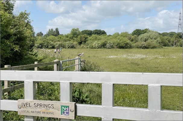
The area for master planning also includes Walls Field Scheduled Monument and some land between Ivel Springs Local Nature Reserve and North Road.
Baldock's Historic Growth
Baldock has an exceptionally rich history, dating back to prehistoric times. The pattern of historic growth of Baldock is shown in these diagrams: based on the fertile farmland, good water supply and trade routes along the prehistoric trackway known as the Icknield Way (which broadly follows the route of Royston Road).
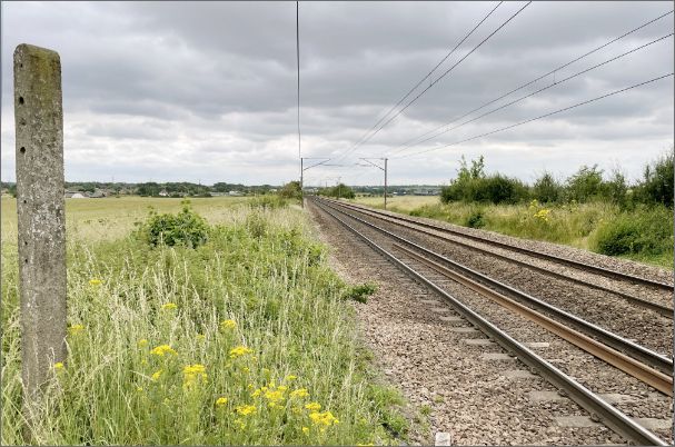
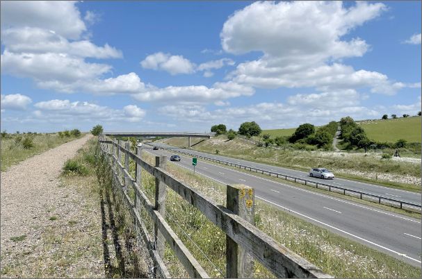
With The Great North Road and transport developments of the Great Northern Railway, through the 19th and 20th Centuries, Baldock became constrained in how and where it can grow. The Local Plan, Neighbourhood Plan and Growing Baldock discussions look to deliver growth in the north and east, but in a way which brings together benefits for the whole of the town.


What we know
The first step in producing the Baldock Strategic Masterplan is finding out as much as we can about the area and the wider town. We have shared some of the key points we have gleaned so far, but want to capture more thoughts and ideas from you to help shape the plans at this early stage of the process.
This plan shows some of the key features of the site and Baldock.
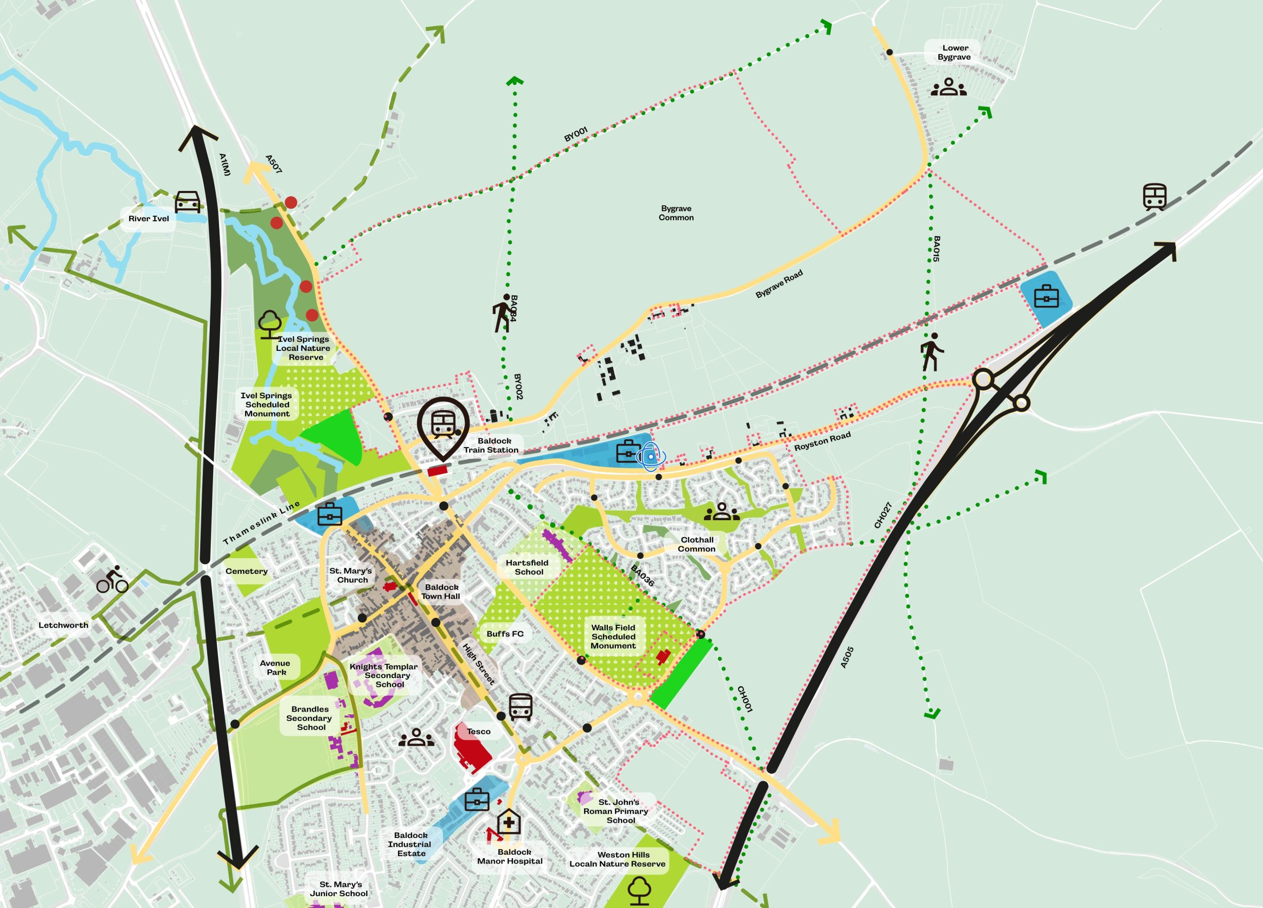
Baldock context
- Historic Rights of Way that cross the land including old ‘Miller’s Way’ public right of way, could be enhanced to create local walking and cycle routes to the town, and provide “greenway routes” for people to access the countryside beyond.
- Employment space in this area could be strengthened to provide more local jobs.
- Two Scheduled Monuments (Ivel Springs and Walls Field) and Local Nature Reserves (Ivel Springs and Weston Hills) are close by.
- The development provides an opportunity to enhance and landscape a northern and eastern gateway to the town.
- The design will need to provide separation between the development and Bygrave to safeguard its historic identity and character.