Bringing it all together
What we know
This plan brings together the key elements of the information we have gathered into a combined constraints and opportunities plan. Your feedback will help inform the next version of this plan, which will in turn, be used to develop the Strategic Masterplan itself.
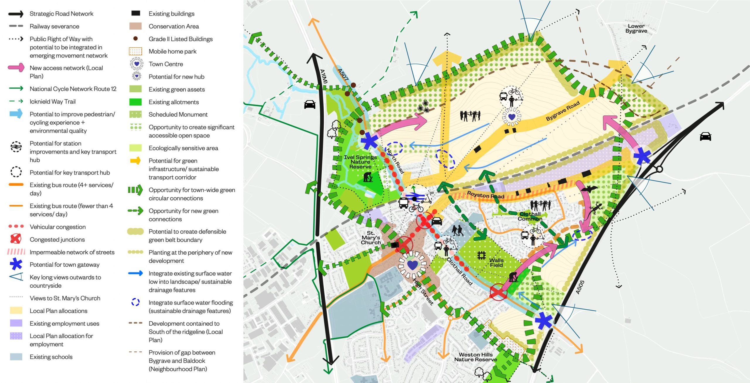
Opportunities and ideas
We are developing some objectives for the new development to achieve. These could include the following:
Becoming part of Baldock
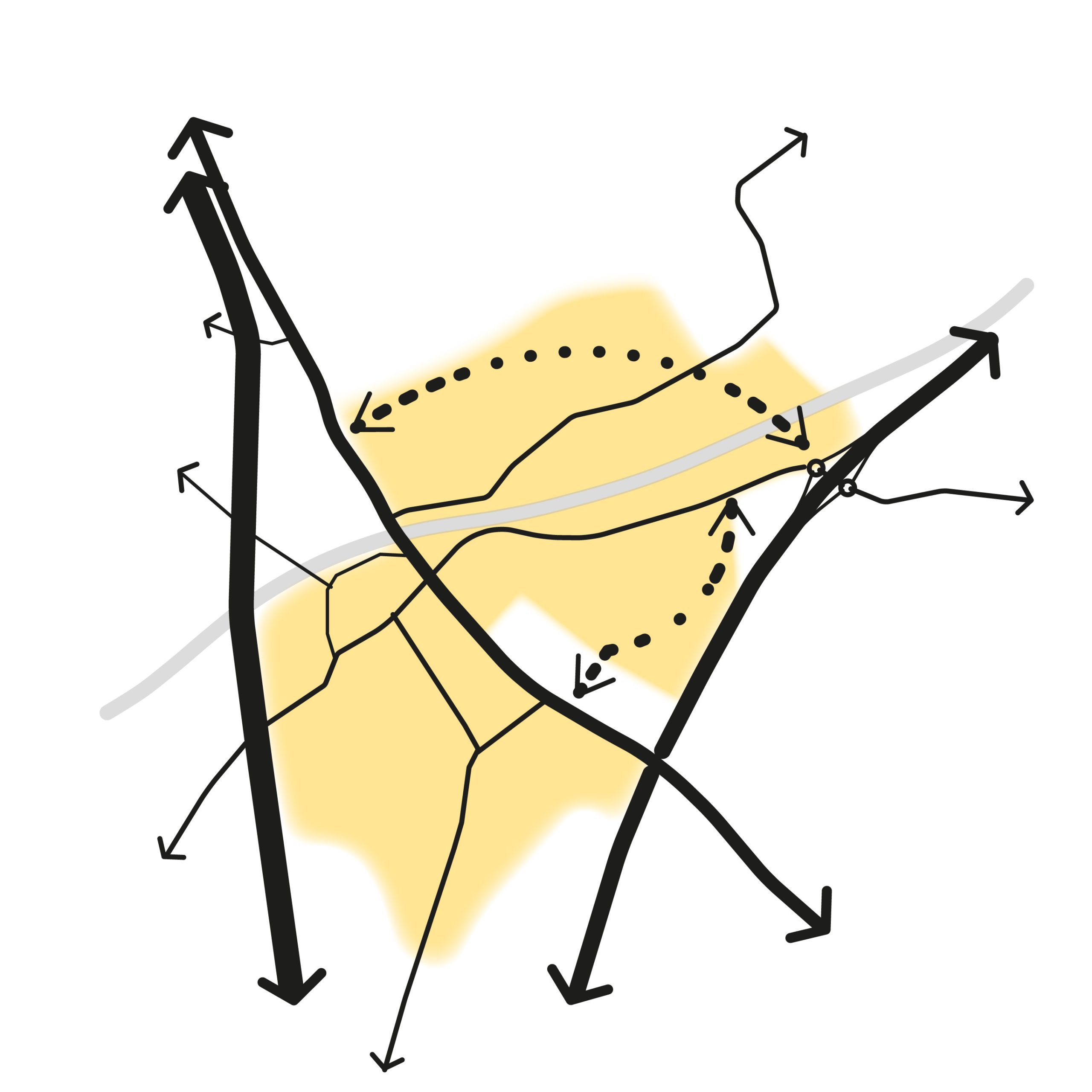
To integrate the new development parcels into the pedestrian, cycle, public transport and road network, provide crossings over the railway and create attractive connections to the town centre, train station and facilities in Baldock.
Baldock ‘Green Loop’
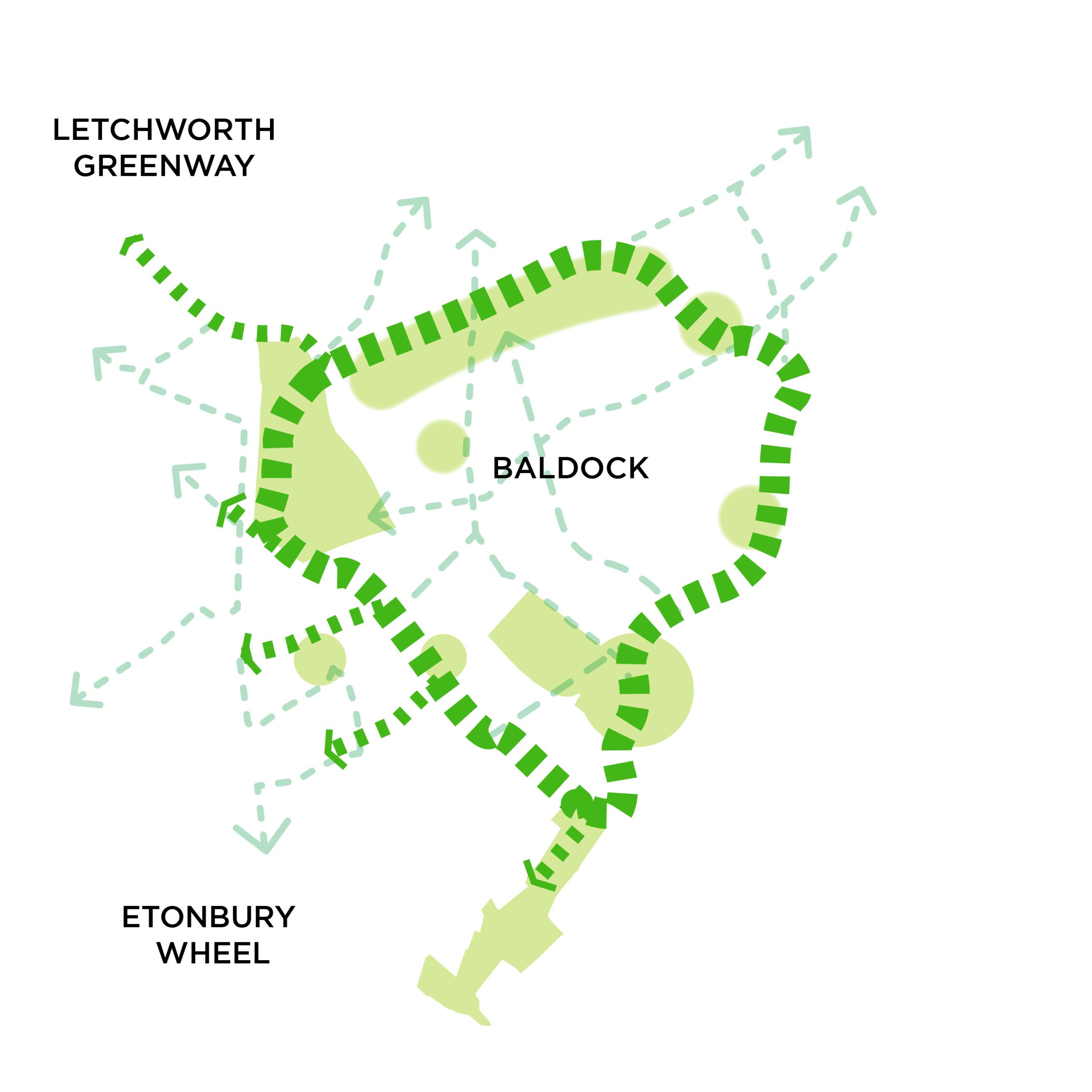
To create a circular route of green links around Baldock, connecting to the emerging “Letchworth Greenway” and “Etonbury Wheel”.
Landscaped Edges
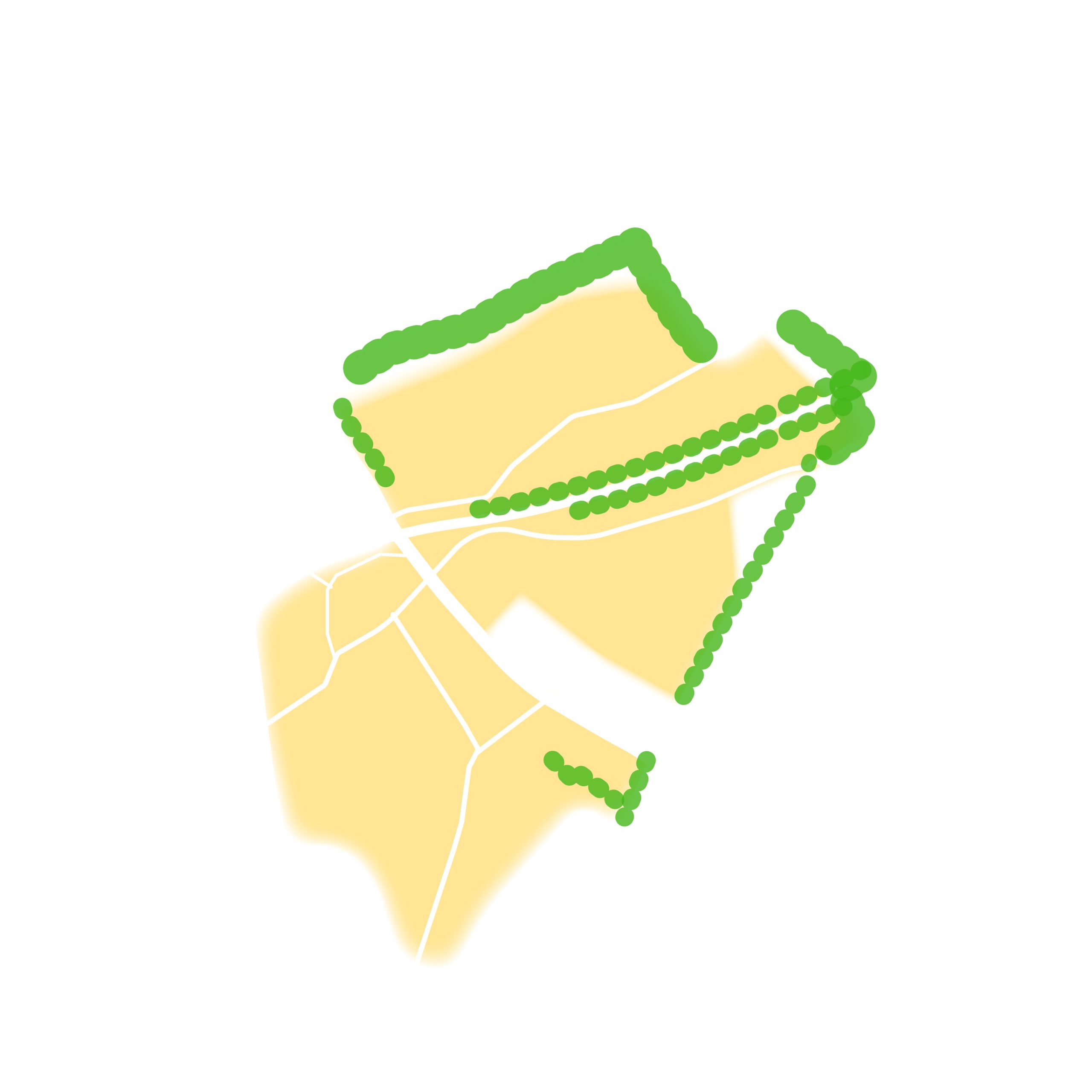
To incorporate landscape buffers between the development and Bygrave to protect its independent identity, and between the main roads and the railway to create a green ‘edge’ to the development.
Sustainable & Active Travel
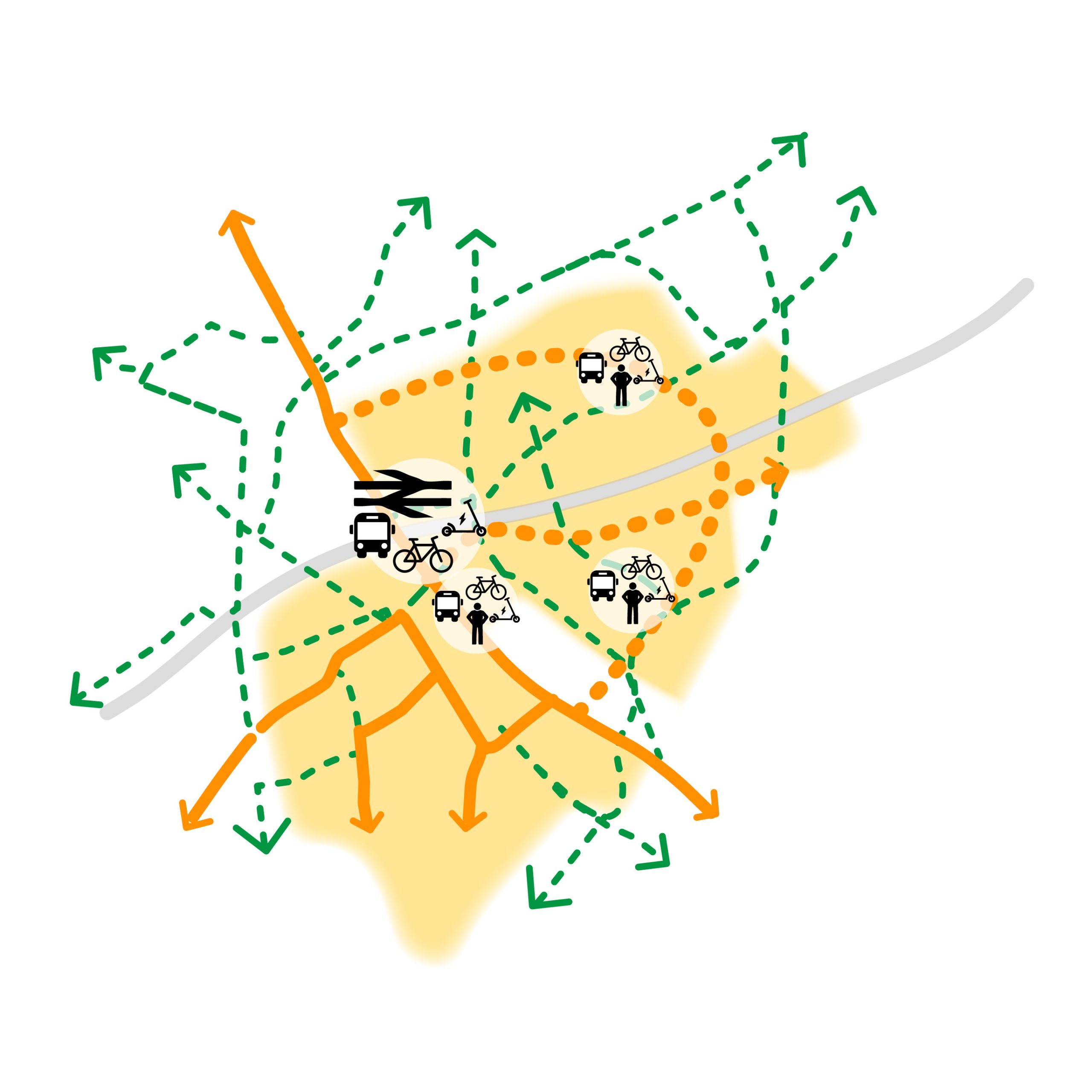
To encourage walking, cycling and public transport use, through a network of footways and cycleways, public transport provision and an innovative approach to car parking.
Green Spaces
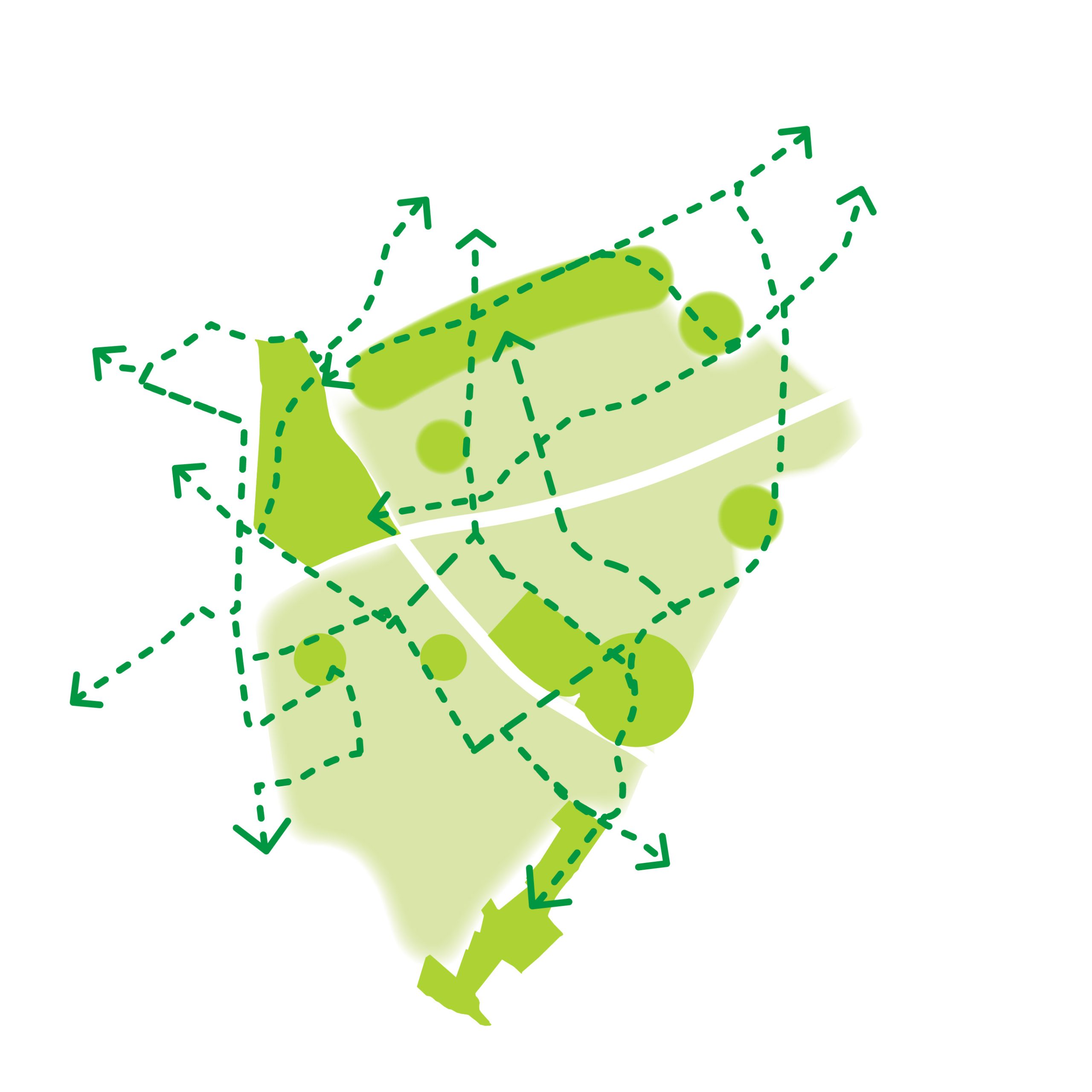
To create a network of green spaces, including improvements to Walls Field and the integration of Bygrave Road as a new key green corridor;
Integrating Heritage
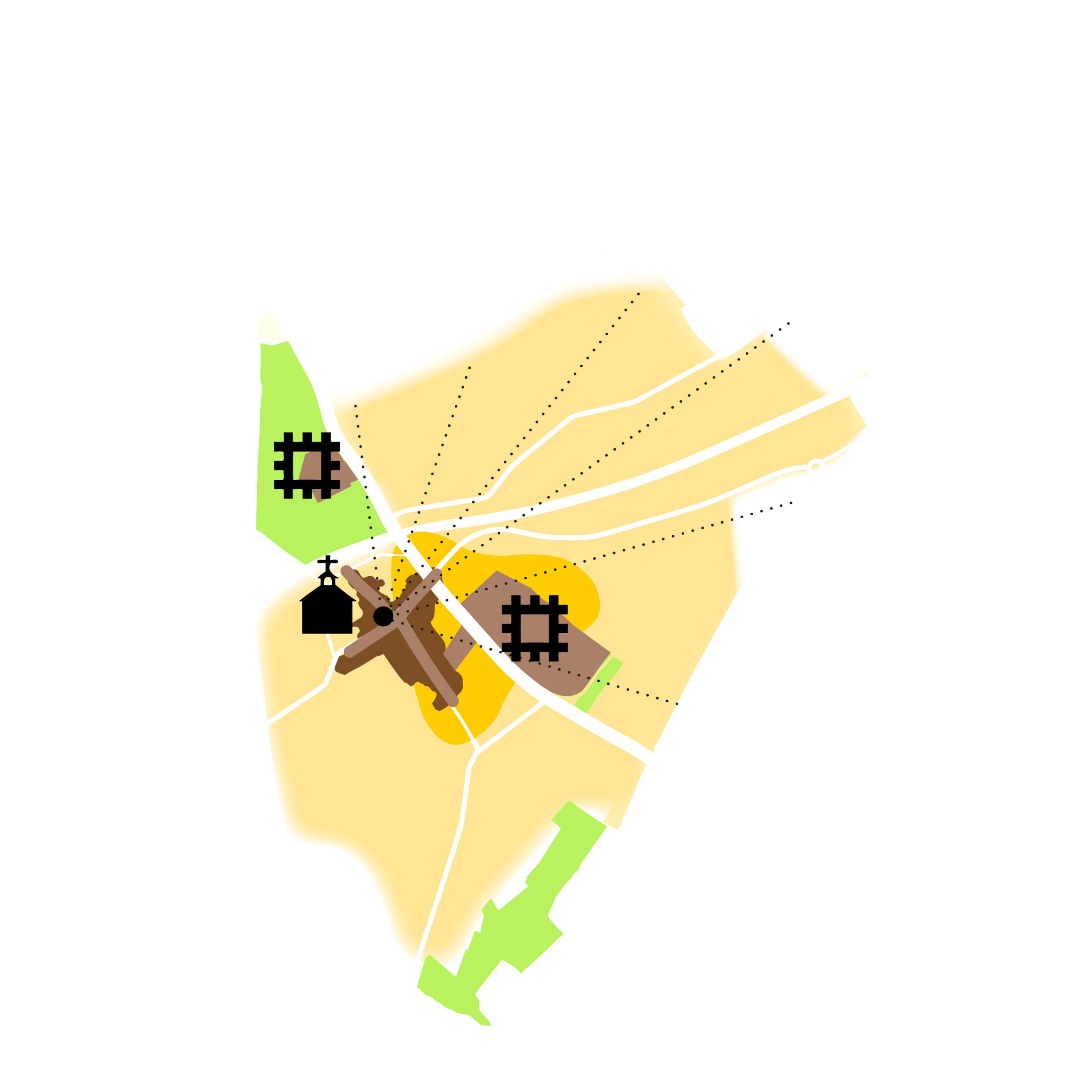
To reflect the rich history of Baldock, through the protection of views to landmarks (e.g. St Mary’s Church) and integration of areas of archaeological interest within the development and green spaces.
Reinforcing Ecological Value
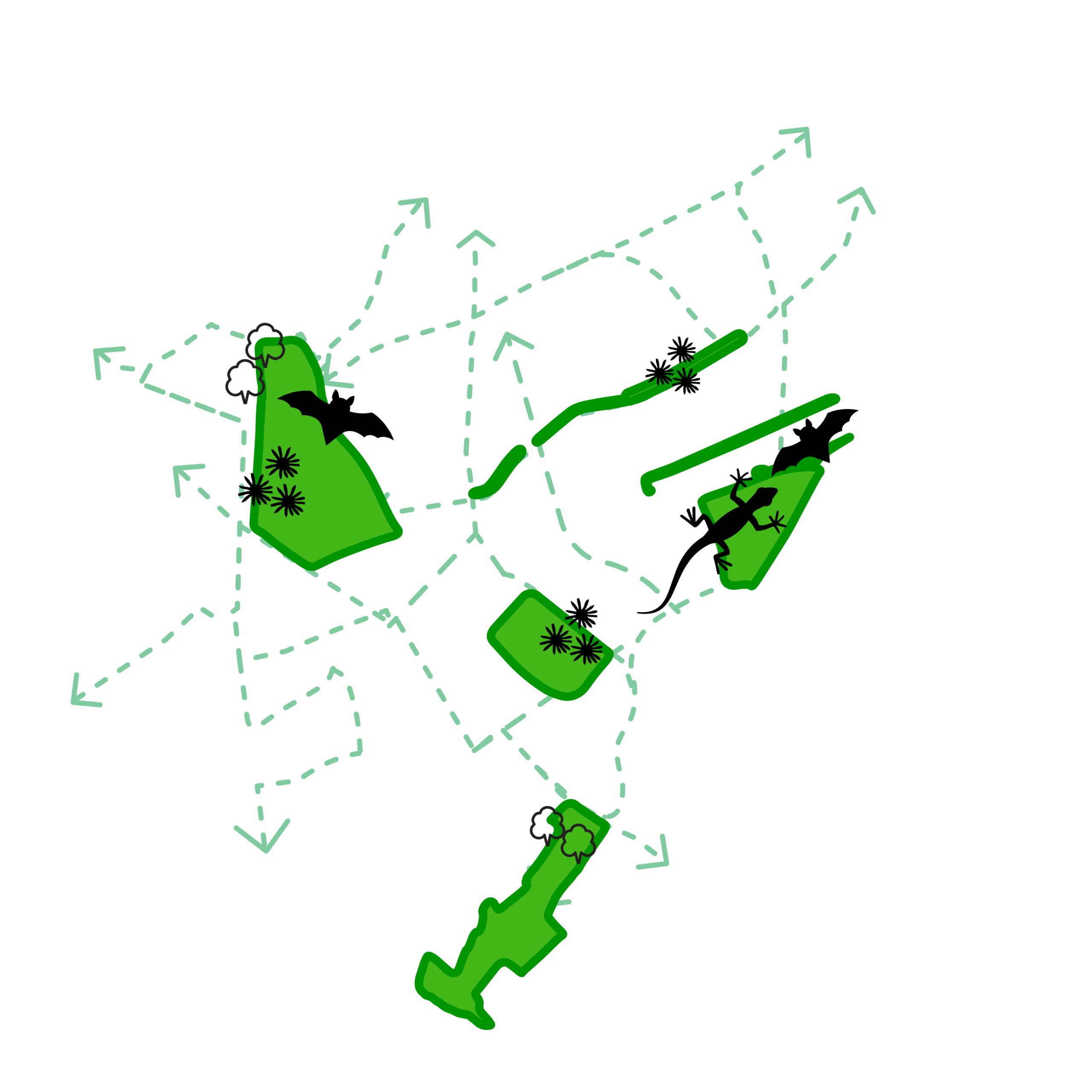
To integrate and strengthen ecological assets into a wider green infrastructure network, connecting to the Ivel Springs and Weston Hills Nature Reserves;
Complementing Baldock
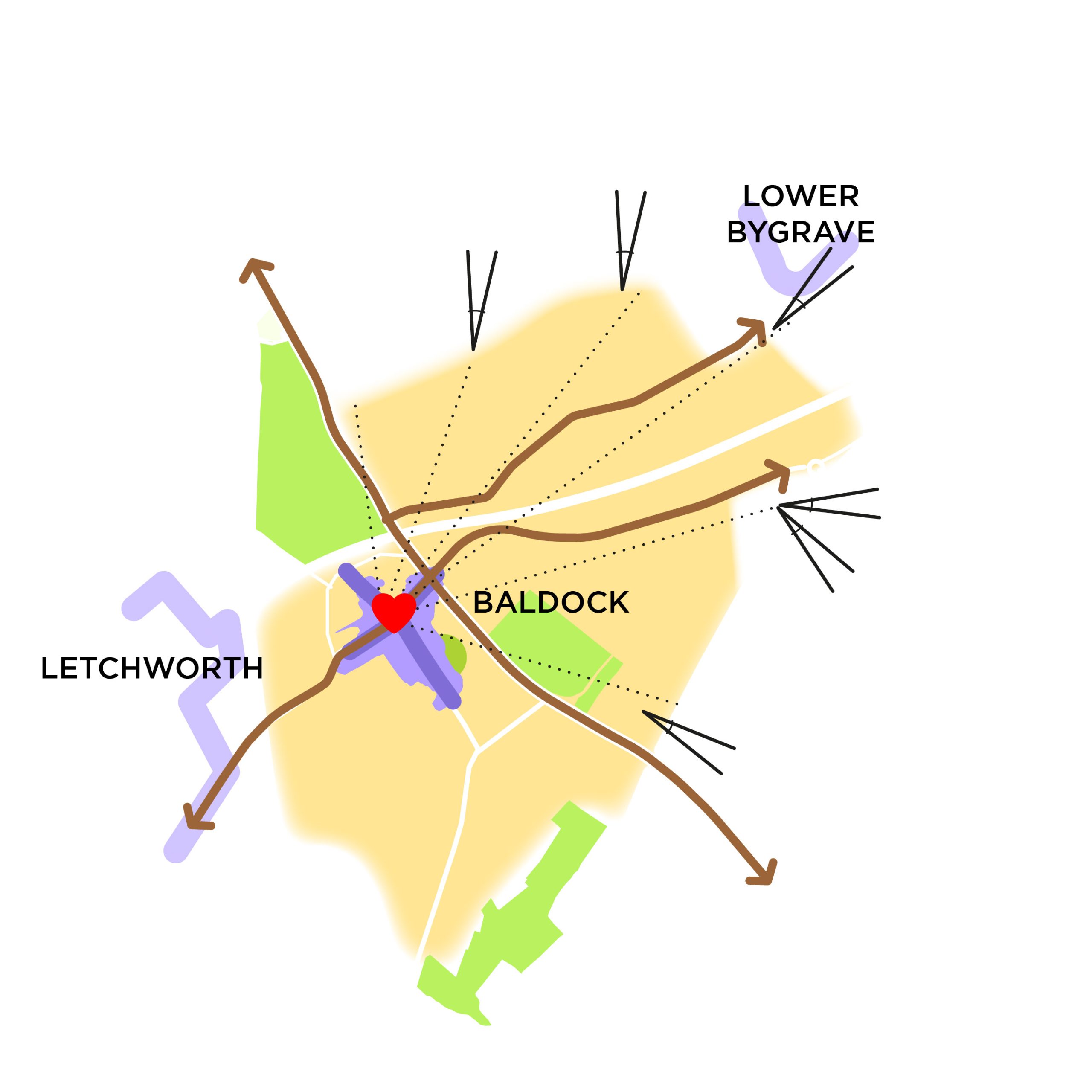
To strengthen Baldock and Bygrave village’s unique characters and to provide facilities that support the increased population and complement the existing town.
Sustainable Drainage
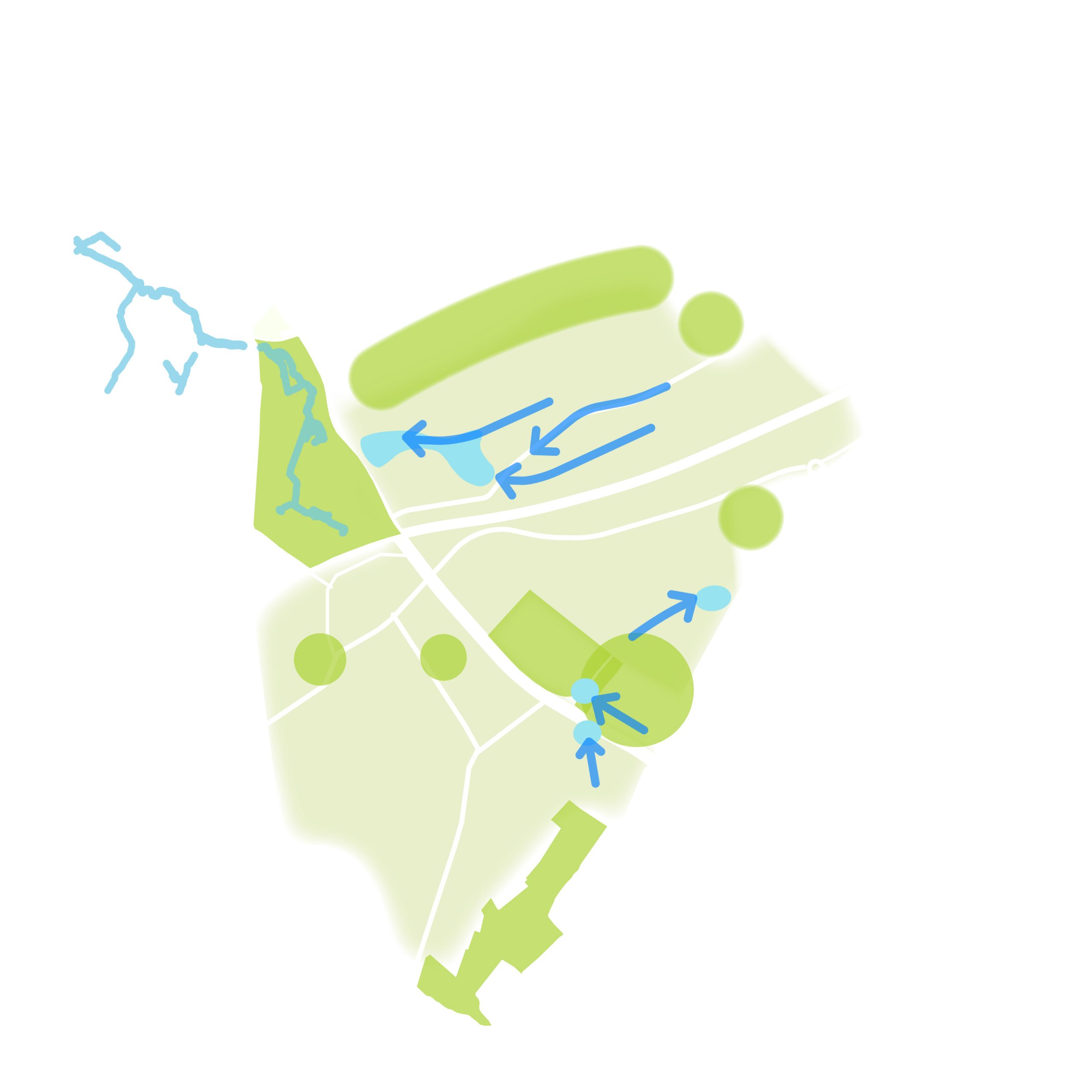
To use sustainable urban drainage to manage surface water within green spaces, control water flow, improve water quality, support wildlife and establish attractive, green environments.